Zenmuse L2 LiDAR system

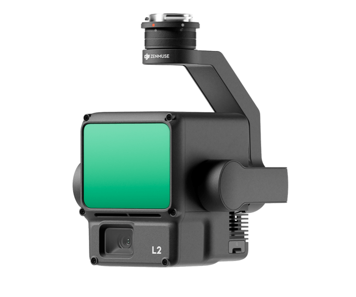
High precision LiDAR with integrated CMOS camera for aerial UAVs

Purpose

A high resolution integrated LiDAR and photogrammetry system with seamless integration into DJI UAV systems. Perform photogrammetry mapping while collecting LiDAR point clouds and cover up to 2.5km^2 in one sweep.

• 240,000 points per second
• 4-5cm accuracy at 150m
• Up to 450m range

Kit contents

  • Zenmuse
  • SD card

Required skills & qualifications

  • GVC licence required for operator
  • Permission for Commercial Operations (PfCO) for multirotor wing UAV
  • Demonstrable experience with similar sized/weight multirotor drone – recent flight log and description of flight
  • Full liability insurance and aviation liability cover
  • Experience using similar sensors

Additional considerations

  • For use with DJI Matrice 300/350 only

Daily hire cost inc. VAT

Academia
SME
Industry
£152.89
£POA
£POA

*Cost will vary dependant on the facility, support required, and duration of hire

**There is 1 available at University of Bristol

Availability

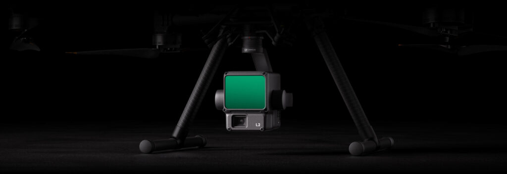
Zenmuse L2 LiDAR system is available at the following facilities:

  • University of Bristol, Fenswood Facility
    On Site Use & Delivery Available