WingtraOne

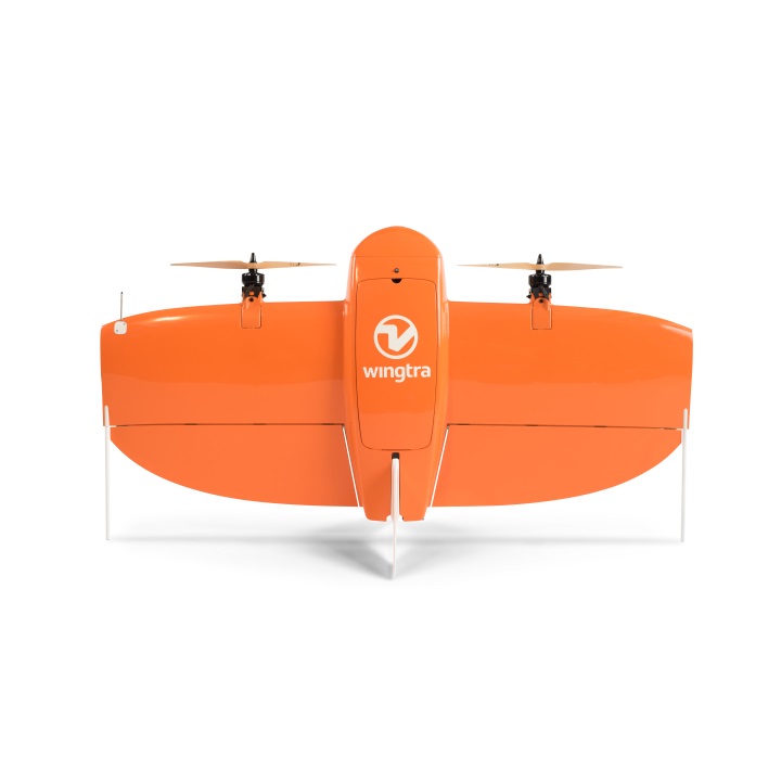
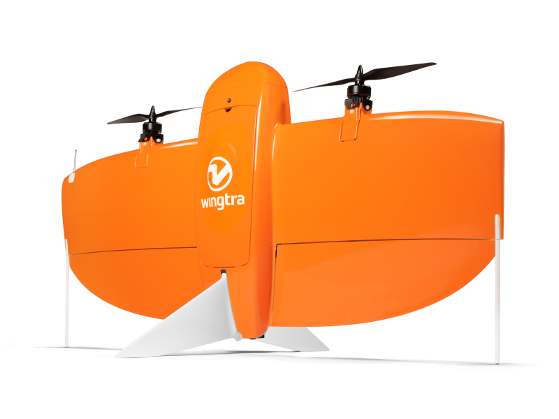
Fixed wing drone that can be used for survey missions and mapping

Purpose

Optimised for mapping and surveying, the WingtraOne’s accuracy, speed and ease-of-use make for efficient survey missions.

  • Up to 59 minutes flight depending on flight plan and weather conditions
  • Max payload weight 800g
  • Sony 42mp full frame camera (down to 0.7cm/px)

Kit contents

  • WingtraOne
  • Ground station - tablet
  • 2 sets of batteries, a charger and a discharger
  • Accessories

Required skills & qualifications

  • Permission for commercial operations (PFCO) for fixed wing UAV
  • Demonstrate currency through logs and details of at least 3 fixed wing flights, conducted in the last 3 months
  • Full liability insurance and aviation liability cover

Additional considerations

  • Mission planning requires an internet connection
  • Log no. of flights and duration of flight after use
  • A high-speed SD card will be required

Daily hire cost inc. VAT

Academia
SME
Industry
£254
£279
£304

*Cost will vary dependent on duration of hire and support required

**There is 1 available at University of Bristol

Projects

Availability

WingtraOne is available at the following facilities:

  • University of Bristol, Fenswood Facility
    On Site Use & Delivery Available